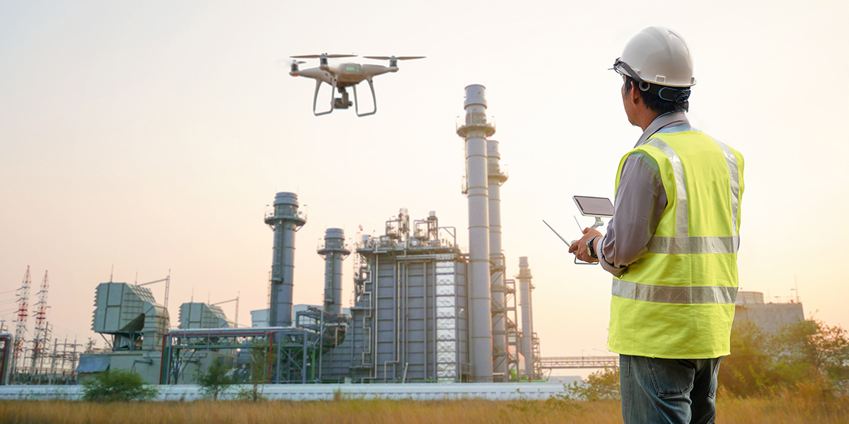
Drones are increasingly being used to document real estate and industrial parks – and for good reason. Within a few minutes, objects can be documented with photos or videos. Especially when taking pictures of wide areas from air, the usage of drones is an enormous time- and cost-saver. By applying a photogrammetric method and the FRAMENCE technology, drone photos are also helpful for determining the area and volume of facades, roofs, properties, or construction sites.
Drone shots of construction sites have triggered a real trend in social media around the construction site of Tesla’s new Gigafactory. Thousands of people are following the progress of the construction site through private drone videos in social media. However, the recordings can do much more than “just” show nice videos; they can also provide a real benefit for builders of real estate and industrial parks. Operators can already take advantage of this standard technology when it comes to image documentation or overviews across large areas or industrial plants. We have succeeded in enhancing these simple drone images in such a way that they are dimensionally accurate. Thus, they enable precise volume and area determination as well as measurements in the image.
This is how the photogrammetric method works:
By applying a photogrammetric method, the object is photographed with the drone from different angles. The image files are transferred to the computer and converted into a 3D image fully automatically by the FRAMENCE software using both mathematics and AI. With this method, an inch-perfect measurement is possible directly on the computer. No expensive hardware is required, since even commercially available drones already provide sufficient image quality for a photogrammetric method. The use of images has – besides the low acquisition effort and thus the costs – the advantage that all details are visible and even unexperienced users can quickly find their way easily. Using a standard browser, customers can go virtually on site and take a detailed look at the situation.
Use Cases
Use cases for the photogrammetric method are not limited to measuring and surveying only, but also support customers in the seamless documentation of construction projects, in maintenance, when capturing existing facilities, or in any kind of inspections. Thanks to very useful tools incorporated in FRAMENCE, such as the integrated timeline, changes are precisely located and seamlessly documented over time. Thus, all individual steps can be tracked at any time. You can mark a PoI (“Point of Information”) in the image to point out certain areas/installations, or additional links can be provided to other CAFM systems. Even not being on-site, the operations manager can get a complete overview of the respective situation.
Drones provide considerable time and cost savings due to their fast and multidimensional capturing. Especially at great heights, such as chimneys, furnaces, wind turbines, or buildings that are generally difficult to view or actually inaccessible, the documentation with drones is now possible without any difficulties. In the future, many more industry sectors will rely on data taken from drone-based measurements and data capturing.


